


Davis School Voting District, George County, Mississippi
About
Outline

Summary
| Unique Area Identifier | 605389 |
| Name | Davis School Voting District |
| County | George County |
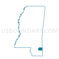
| State | Mississippi |
| Area (square miles) | 15.76 |
| Land Area (square miles) | 15.51 |
| Water Area (square miles) | 0.25 |
| % of Land Area | 98.43 |
| % of Water Area | 1.57 |
| Latitude of the Internal Point | 30.85186800 |
| Longtitude of the Internal Point | -88.68511460 |
Maps


Graphs
Select a template below for downloading or customizing gragh for Davis School Voting District, George County, Mississippi


Neighbors
Neighoring Voting District (by Name) Neighboring Voting District on the Map
- Basin School Voting District, George County, MS
- Benndale Crossing Voting District, George County, MS
- Central School Voting District, George County, MS
- Multipurpose Bldg. Voting District, George County, MS
- Twin Creek Voting District, George County, MS